 Image 1 of 2
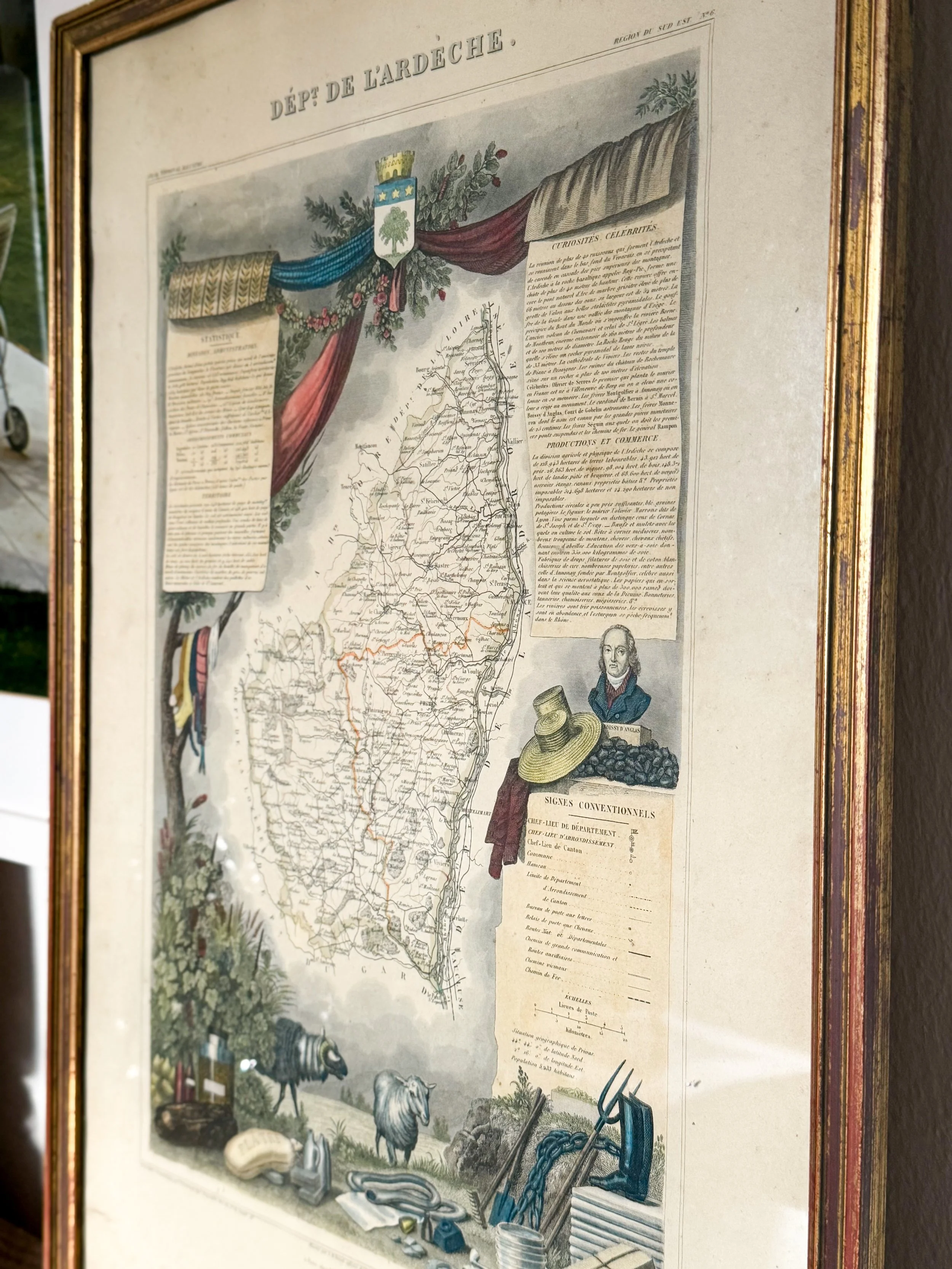 Image 2 of 2
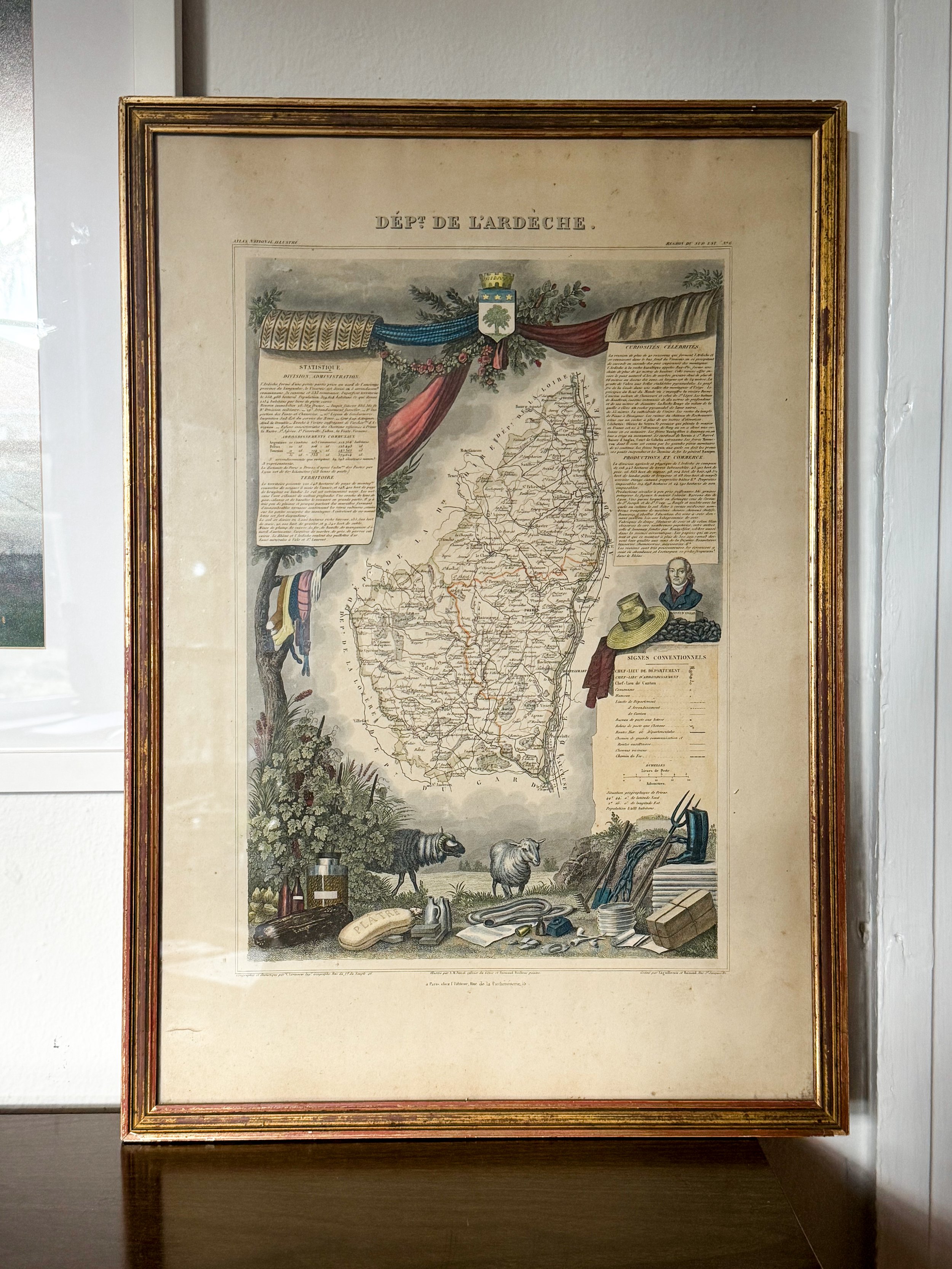
Sourced in Provence, this mid-19th-century hand-colored engraving is an authentic map of the Ardèche department from Victor Levasseur’s famous Atlas National Illustré. Famed for its ornate narrative borders, the map is surrounded by detailed vignettes illustrating the region's agricultural heritage. Framed in a vintage gilt wood frame with warm red-clay undertones, it brings immediate European history, architectural texture, and antique depth to any space. Hang it individually above a wooden console table or entryway table, pair it alongside vintage brass sconces, or style it on a gallery wall among architectural engravings and oil studies for a truly collected, historic aesthetic.
Dimensions: 22.5”H x 15.5”W
Sourced in Provence, this mid-19th-century hand-colored engraving is an authentic map of the Ardèche department from Victor Levasseur’s famous Atlas National Illustré. Famed for its ornate narrative borders, the map is surrounded by detailed vignettes illustrating the region's agricultural heritage. Framed in a vintage gilt wood frame with warm red-clay undertones, it brings immediate European history, architectural texture, and antique depth to any space. Hang it individually above a wooden console table or entryway table, pair it alongside vintage brass sconces, or style it on a gallery wall among architectural engravings and oil studies for a truly collected, historic aesthetic.
Dimensions: 22.5”H x 15.5”W